Searching the Universe for Answers
The questions asked by these Rice computer scientists, bioengineers, geologists, mechanical engineers and astronomers will one day help humans explore space.
By Rachel Fairbank | Illustrations by Alex Eben Meyer
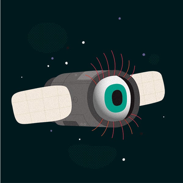
How Can We See Better in Space?
Spectral imaging, which collects information across a wide range of the electromagnetic spectrum, has long been used to collect information about a region of interest, whether it’s imaging the Earth from the upper atmosphere or obtaining images of planets and galaxies.
Unlike traditional imaging, which only collects electromagnetic information in the red, green and blue wavelengths and combines them to present a color image, spectral imaging collects information across a wide frequency, including infrared and ultraviolet frequencies, breaking these into many narrow bands.
“Instead of three colors, you can get 10, 50 even 200 colors for each pixel,” says bioengineer Tomasz Tkaczyk. These ‘spectral finger prints’ can offer additional information about the chemical composition of objects. For example, when you image plants using a spectral imager, “if it’s dying, it will have a different color than if it is well-watered and has enough nutrients,” Tkaczyk says. “Depending on what part of the spectrum you use, you can get more direct chemical imaging.”
Most spectral imagers obtain this information by scanning a region of interest point-by-point, sequentially building an image in each pixel. Tkaczyk and his collaborators are working on a spectral imaging system that can take snapshot images, rather than needing to scan an area line-by-line.
With this capability, “you can collect dynamic events,” Tkaczyk says. A snapshot imaging system makes possible longer exposures, allowing researchers to collect more light. Tkaczyk and his collaborators are also working on making imagers small enough to be easily carried around. “It’s portable today, but it’s still relatively big,” Tkaczyk says. “We are trying to miniaturize it.”
Tomas Tkaczyk is a professor of bioengineering and electrical engineering and computer science in Rice’s Department of Bioengineering.

How Will We Program Robots to Explore Space?
Space exploration comes with many potential risks to the health and safety of astronauts. To reduce these hazards, NASA developed a humanoid robot, called Robonaut 2, to aid in a number of important tasks, such as building, maintaining and repairing space habitats — or exploration. A team of Rice researchers led by computer scientist Lydia Kavraki collaborated with NASA to help program the robot to increase its capabilities.
Robonaut 2 “is a fairly complex robot. It has a torso, human-like hands, and very complex legs, with two knees,” says Kavraki, whose research team is part of the NASA Robonaut collaboration. “When you have an assistant to the astronaut, the assistant needs to use the same type of tools. They don’t have the luxury of bringing a second set of tools for the robot.”
These constraints add an extra level of complexity to programming robots to carry out a number of tasks, as any movement requires the complex calculation of how each of these joints should move, including the timing of each movement, along with the angle and velocity. These calculations, called motion planning, are what Kavraki and her collaborators work on.
“Motion is something very natural to us,” Kavraki says. “For robots, they have to perceive the environment, process this information to understand where things are, and then you have this mechanical system that needs to move in that environment.” For the Robonaut 2 system, this means calculating 34 different points of movement, called degrees of freedom, that have to be continuously specified in order to achieve a smooth, natural movement. “How do you control all these different degrees of freedom?” Kavraki says. “We are solving problems in extremely complex spaces.”
Lydia Kavraki is the Noah Harding Professor of Computer Science, professor of bioengineering, professor of electrical and computer engineering, professor of mechanical engineering, and the director of the Ken Kennedy Institute.
How Does a Planet Become Habitable?
What were the key ingredients and conditions that made the formation of life on Earth possible and what might that look like on another planet? This question forms the basis of the CLEVER Planets (Cycles of Life-Essential Volatile Elements in Rocky Planets) collaboration, an interdisciplinary team made up of scientists from multiple institutions, led by geologist Rajdeep Dasgupta, with the goal of identifying what conditions are required for planets to become habitable.
“There is a diversity of planets,” Dasgupta says, including gas-rich planets, ice-rich planets and rocky planets — such as Earth. Dasgupta’s focus is on understanding what factors are needed for the formation of life on other rocky planets. “What was the history of our planet early on that allowed life to form?” Dasgupta asks. Scientists believe that a planet has the capacity for sustaining life when it has the right amount of energy, called thermal balance, and the necessary chemicals available on the surface of the planet. This balance can be affected by several factors, including whether a planet is volcanically active or not.
“Many essential elements that are needed to make life on the surface actually are supplied by the interior of the planet, through tectonic and volcanic processes,” Dasgupta says. The lack of tectonic plates and active volcanism may have contributed to the lack of life on Mars. It’s not like Mars was never habitable,” Dasgupta says. “[It] clearly did have liquid water on the surface.”
This may have meant that although early conditions were favorable for the formation of life, there just wasn’t a large enough supply of the essential elements like carbon, hydrogen, oxygen, nitrogen, sulfur and phosphorus on the surface of the planet.
Rajdeep Dasgupta is the Maurice Ewing Professor of Earth, Environmental and Planetary Sciences. CLEVER Planets is funded by NASA.

What Can Martian Geology Tell Us About Earth?
The Perseverance rover landed in Jezero Crater on Mars in February 2021 with the goal of helping scientists understand what kind of ancient life may have once existed there. “The overarching goal of the mission is to find, collect and describe the environment for each of the samples of Mars that we will intentionally bring back to Earth,” says geologist Kirsten Siebach, one of 13 participating scientists selected to help NASA operate the rover and collect samples.
Currently, the only samples of Martian rocks that scientists have available to study come from meteorites that landed on the surface of Earth, which only gives us limited information about conditions on Mars. These meteorites “are selective,” Siebach says. “The rocks that are most interesting for life are not usually the hard volcanic rocks — the ones that survive the journey to Earth,” Siebach says.
The information from the Perseverance mission will provide a more thorough understanding of Martian geology, which in turn can inform our understanding of Earth. “Mars is a planet-scale example of how geology works under different conditions,” Siebach says.
By studying Martian geology, we can gain a better understanding of what the early conditions on Earth may have been like when life was just starting to form. “The surface of Mars is preserved from about 3 to 4 billion years ago,” Siebach says, whereas Earth is constantly changing — only about 2% of Earth’s crust from that time period is still intact. “Mars has an excellent record of a time period we are really interested in.”
Kirsten Siebach is an assistant professor in Rice’s Department of Earth, Environmental and Planetary Sciences.

How Can We Predict Extreme Weather Events?
As climate change causes more severe weather events, better weather forecasting models are needed. One weather pattern, which can cause deadly heatwaves or affect where a hurricane might come ashore, is called a blocking event. “A blocking event is a high-pressure system that shows up and just doesn’t move,” said fluid dynamicist Pedram Hassanzadeh. “These patterns, when they show up, can become very destructive.”
In 2017, when Hurricane Harvey made landfall and spent five days dumping historic levels of rain over Houston, a blocking event in the western United States kept the storm stalled in one place, rather than allowing it to move inland. “Harvey is an example of a hurricane whose impact was intensified because of a blocking event,” Hassanzadeh said. More recently, the heat waves that have been hitting California and the Pacific Northwest, causing weeks of historic high temperatures, are also caused by a blocking event. “There’s a lot of interest in understanding how they might change with climate change,” Hassanzadeh said. “Forecasting blocking events is also important.”
In 2012, when Hurricane Sandy was menacing the Atlantic coast in its move northward, the U.S. model predicted that it would remain over the ocean, while the U.K. model predicted it would make landfall. The reason for this difference, Hassanzadeh said, is that “there was a blocking event over Newfoundland that pushed Hurricane Sandy toward land. The U.K. models were very good in capturing these blocking events, but the U.S. model didn’t capture it.”
“The major challenge of capturing these blocking events is the question of how to represent the small-scale winds,” Hassanzadeh said. However, increasing the resolution by 20x isn’t a matter of increasing your computing power by 20x. Instead, it’s “hundreds, or even thousands, of times more expensive,” Hassanzadeh said. “This is not a linear problem.”
Pedram Hassanzadeh is an assistant professor of mechanical engineering and of earth, environmental and planetary sciences at Rice.

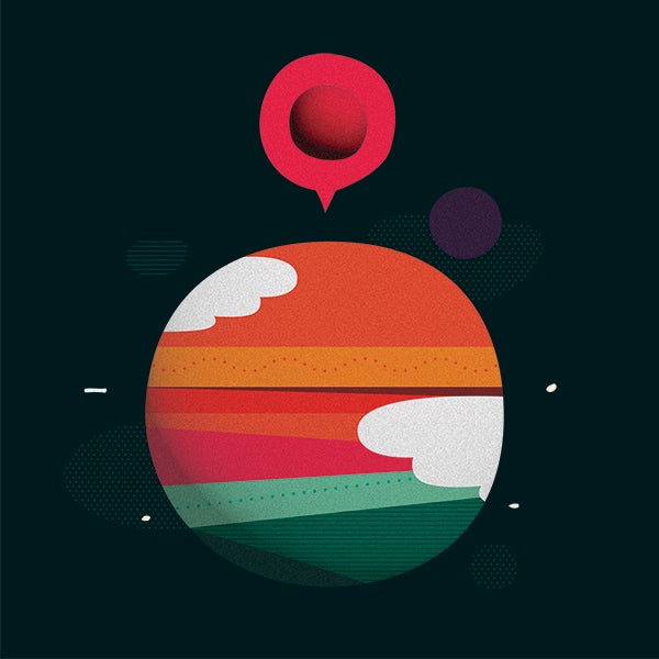
How Do Planets Form?
Planets are thought to form from big clouds of gas and dust, but the exact process of how this happens is still unknown. In the evolution of a planetary system, “we don’t know if planets form very early or later on,” says astronomer Andrea Isella. We also don’t know whether planets will form close to a star, moving out later on, or if they form far away from the star and then move in later. “We don’t know how planets form, in general,” Isella says.
To explore this question of how planets and planetary systems form, Isella and his collaborators are using the Atacama Large Millimeter/submillimeter Array, or ALMA for short, a collection of 66 radio telescopes based in the Atacama Desert of northern Chile, to take images of planetary systems that are still forming.
“Most of the planets we have discovered are old planets,” Isella says. “We are finding a way to detect planets when they are very young.” Capturing images of planetary systems that are still forming can help put together an understanding of what the process looks like, similar to the way photographing people at different timepoints in their life, from the newborn phase to mature adulthood, can offer a sense of what different developmental stages look like.
With his collaborators, Isella was able to capture an image of a young planet, associated with the star PDS 70, which showed that the planet was surrounded by material. This was the first detection of a circumplanetary disc, which is a ring-shaped accumulation of matter in orbit around a planet and is thought to be how moons form.
“Every time we find a new piece of evidence, it gives us better information. There are so many fundamental questions that we don’t have an answer for.”
Andrea Isella is the William V. Vietti Associate Professor in Space Physics and associate professor of earth, environmental and planetary sciences in the Department of Physics and Astronomy.